Timmins-Cochrane Geophysical Surveys
Project Information
Project Title:Timmins-Cochrane Geophysical Surveys Research Location:Cochrane to Timmins, Ontario Research Lead:Dr. John Ayer, MERC Associate Director, Laurentian University
|
Project Status:Active Contact:Promotions and Communications Manager, Mineral Exploration Research Centre, Laurentian University 705-929-8650 |
Industry Consortium Members:
International Explorers and Prospectors Inc.
Lake Shore Gold (a subsidiary of Pan American Silver)
Newmont Corp
Scope of Project:
Laurentian University’s Mineral Exploration Research Centre (MERC) is leading a geophysical survey in the Timmins and Cochrane area from October 7 to November 15, 2020.
The goal is to advance geoscientific knowledge about the underlying geologic architecture, structures, and mineral resource potential of the Earth’s crust approximately 30 kilometres below the surface.
The project is part of MERC’s $104 million Metal Earth project, which is Canada's most extensive exploration research program and involves a consortium of industry partners.
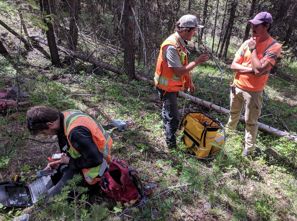
Quantec Geoscience will use electromagnetic technology, specifically magnetotelluric (MT) and audio magnetotelluric (AMT) instruments, to survey selected stations within a corridor of approximately 130 kilometres by 50 kilometres.
The corridor stretches from Highway 11 in the north to 50 kilometres south of Timmins. Surveyors will be active in some residential areas.
High-resolution AMT surveys in the Timmins gold camp are made possible with consortium partner support. Newmont Corp is funding surveying from Tisdale to Matheson townships. International Explorers and Prospectors Inc. and Lake Shore Gold (a subsidiary of Pan American Silver) are funding surveys from Loveland to Thorneloe townships, west of Timmins.
The new survey adds data to previous seismic and ongoing MT and AMT surveys conducted through the Metal Earth project in Ontario and Quebec. Seismic surveys were completed as part of the Discover Abitibi project, managed by the Timmins Economic Development Corporation, in 2004. MT and AMT surveys were not previously conducted in the planned survey area.
Anticipated Outcomes:
1) The project will add unique regional and high-resolution images integrated with seismic, gravity, and magnetic data to better evaluate the geology and economic potential of an historic and world-class gold camp.
2) All data collected will be made publicly available, providing a richer understanding of the region's resources and geologic structure.
MERC MT Survey Site Locations:
Industry-sponsored AMT Survey Site Locations:
Download Site Locations:
Related Documents/News:

