Thu
6 Jun 2024Emerging Ghanaian researcher brings geoscience talent to Canada
University geoscience programs always search for intelligent, hardworking, and detail-oriented graduate students because they are essential to advancing geoscientific knowledge and exploration methodologies.
Recruiting such talent requires universities to offer graduate students unique opportunities to work with global experts from academia, industry, and geological surveys. Often, the key to successfully recruiting a graduate student is introducing them to a new region with a compelling question requiring them to harness all of their skills and strengthen themselves in unexpected ways. But first, they need to discover geology.
Samuel Tetteh's journey into geology is a testament to the power of passion and opportunity. His love for geography in high school led him to the geological engineering program at the University of Mines and Technology in Tarkwa, Ghana. Here, the world of geology unfolded for him, culminating in a B.Sc. honours thesis that focused on finding pathfinder elements of gold in residual laterite samples in northwestern Ghana. Sam graduated at the top of his class and earned the highest average of any graduating student in his university, a remarkable achievement.
After a LinkedIn post regarding an M.Sc. project with Stefanie Brueckner at the University of Manitoba caught his attention, Sam’s academic geological career in Canada started. He packed his bags, said goodbye to the tropical +30-degree weather of Ghana, and arrived in Canada with a classic winter welcome: a snowstorm accompanied by a brisk -30 degrees. Aside from the cold weather, Sam says his overall experience has been filled with warmth. “The grad students here have been very hospitable. They are very friendly, so it feels like family.” The idea of home isn’t entirely lost on him, though as he gets a taste of it from the local African food market and the added bonus of sharing an office with a fellow Ghanaian master’s student.
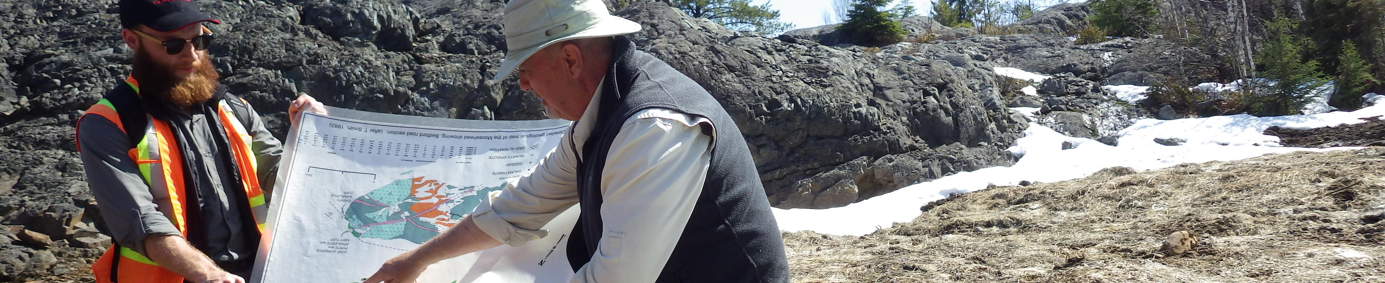
His research project brought him to Timmins, Ontario, where he has been working with a collaborative group focusing on the Kamiskotia area. Sam’s main objective is to create mineral prospectivity maps that will aid in determining if there are additional deposits of economic interest. Prospectivity maps, such as the one Sam will complete, provide an in-depth blueprint for mining companies in the area to know where to look for continued resources. The group that’s assisting Sam with the project consists of Ross Sherlock and John Ayer (Laurentian University); Stefanie Brueckner (University of Manitoba)*; consultants Jeff Harris, Eric Grunsky, Tim Barrett, and Martin Demers; and industry representatives Lionel Bonhomme (International Explorers and Prospectors), and Jon Deluce (Melkior). Bonhomme, Deluce, and Demers provided an excellent introduction to the area when Sam began his fieldwork in Timmins.
The bulk of Sam’s work is data-driven. He has analyzed lithogeochemical data of various samples from the Kamiskotia area. He ensured that the data was of high quality by replacing, for instance, censored data with replacement values and applying a centred log-ratio transformation to address the issue of the compositional nature of geochemical data. He then used state-of-the-art tools such as ioGAS to identify key geochemical signatures that indicate a fertile setting for significant VMS mineralization in the Kamiskotia area. Additionally, he computed various alteration indices and reduced the variables necessary to outline mineralization and alteration effects within the transformed data via principal components analysis.
From the above information and geochemical anomalies for trace elements of interest (Cu, Zn, and pathfinders), he has produced evidence layers using several tools, including ArcMap, QGIS, and ioGAS. These layers show good spatial relationships to known mineralization sites, favourable host lithologies, synvolcanic faults and intrusions in the study area both on 2D surface maps and in 3D leapfrog models. These layers will be integrated using supervised machine-learning techniques such as random forests and neural networks to produce a final prospectivity map. Once this portion of the project is complete, microscopy work (e.g., transmitted light, reflected light, and scanning electron microscopy) will follow suit on samples collected from the Genex deposit area in the study area, giving a better understanding of the potential expansions local mines may have.
Coming from a family mainly composed of schoolteachers, his love for learning may seem hereditary. Sam, however, is the first of his relatives to pursue a career in geology and continues to succeed as he advances in the discipline. He has been offered a taste of what life is like in the mining industry, and he is excited to see what his future will bring. Following his Master’s degree, he hopes to gain more experience working in the industry and eventually pursue a Ph.D.
*Dr. Stefanie Brueckner will join the Harquail School of Earth Sciences at Laurentian University beginning in July 2024. Her student, Sam Tetteh, will continue his project with the same team of supervisors and collaborators.
Feature by Carolyn Hatton, BSc Earth Sciences, BA Communications (Laurentian University)

