Tue
19 Dec 2017Preliminary results from transect mapping in the Abitibi greenstone belt and Pontiac Subprovince, Rouyn-Noranda area, Quebec
This project is part of Metal Earth, a Canada First Research Excellence Fund, and government-, academia- and industry-sponsored research project that aims to explain the differential metal endowment of Archean greenstone terranes that have broadly similar geology. During the inaugural 2017 field season, Metal Earth initiated geological mapping and geophysical surveys along four ~40–80 km transects primarily located in the Abitibi Subprovince, specifically to address the question of metal endowment.
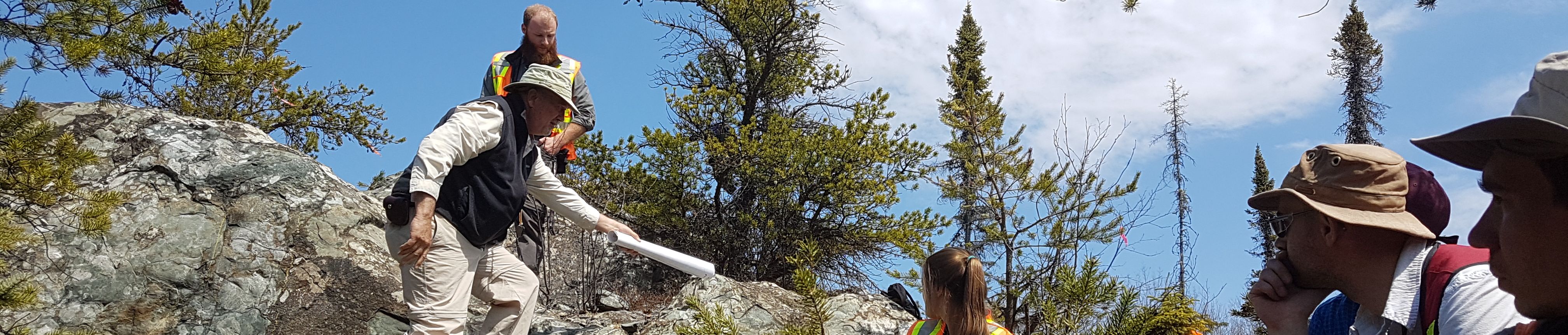
Fieldwork was carried out along the ~80 km Rouyn-Noranda (RN) transect in Quebec, which extends from ~2 km north of the Porcupine–Destor fault zone (PDFZ) and ~3 km east of Lac Dancës southeast through the city of Rouyn-Noranda before continuing south into the Pontiac Subprovince, where it ends ~22.5 km south of the Cadillac–Larder Lake fault zone (CLLFZ; Figure 1).
The purpose of the transect mapping is to collect geological data (lithological, structural, geochemical, geochronological, mineralization, alteration) and to compile previous work. By integrating newly acquired geological and geophysical data with historical data, each transect will produce a crustand mantle-penetrating cross-section through the Abitibi greenstone belt. Eventually, the RN crosssection will be compared to other transects through equally or less-endowed greenstone belts.

