Thu
29 Nov 2018Imaging Subsurface Structures 36 km Deep
Metal Earth uses deep imaging techniques to understand subsurface structures up to 36 km below the crust
Update with Metal Earth Research Associate Saeid Cheraghi.
A large seismic survey was conducted as part of the Metal Earth project in order to image subsurface structures up to depths of 36 km. Metal Earth researchers are integrating the results of the seismic survey with the results from other geophysical, geochemical, and geological studies to improve our knowledge of the crustal architecture.
“Researchers can not make direct observations of the deep crust but seismic surveys will provide some inferences to aid in the interpretation of the crustal architecture. Seismic methods are similar to an x-ray image which will provide geologists with details to develop our understanding of the crust."
Reflection seismic shakes the ground causing waves to travel up to 36 km deep
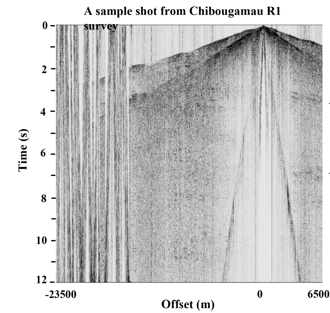
In a reflection seismic survey we generate seismic shots, a source of energy into the ground, and record the ground motion using seismic sensors (geophones). For 2D seismic surveys, shot points and sensors are placed along a line called the survey profile.

Generally speaking, seismic shots will be generated by releasing energy with explosive materials (dynamites) or mechanical device (shaking the ground). This will generate seismic waves that travel into the ground, where they reflect off geological features which cause the waves to be reflected back to the surface.
Sensors placed on the surface receive the reflected waves. The reflected waves recorded by all of the sensors for a single seismic shot is called a shot gather. All the acquired shot gathers during the course of a survey are then processed using elaborate and sophisticated seismic processing algorithms to generate a subsurface reflectivity map.
“Some areas below the crust are transparent and do not reflect the signals, they mostly scatter seismic waves. Other areas act like a mirror and reflect the signal back to the sensors. Small objects such as an orebody lens, diffract seismic waves rather than reflections. Modeling the reflection and diffraction of seismic waves provide powerful insights into the subsurface geology."
“Imagine a sponge with metal balls inside. The seismic image of the sponge will be scattered waves and only the isolated metal ball generates a reflection. ”In total, ~1,000 km of regional scale surveys and ~200 km of high resolution surveys were collected over 14 areas of interest in the Abitibi and Wabigoon subprovinces.
|
|
|
|
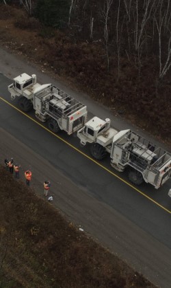
Image 1: 2578 shots were acquired for Chibougamau R1 survey. |

Unraveling ambiguities about metal endowed/barren areas
The main purpose of the seismic survey is to image the subsurface geological boundaries in shallow and deep crustal regions. The maximum imaging depth of the acquired Metal Earth survey, based on its acquisition parameters, is about 30-36 km. It is expected that the survey will improve our knowledge about folding, faulting of subsurface structures and will provide more details about steeply dipping formations. A better understanding of the subsurface architecture unravels ambiguities about metal endowed/barren areas and could help to design more efficient exploration projects.
The seismic group at Metal Earth, Dr. Mostafa Naghizadeh (Assistant Professor) and Dr. Saeid Cheraghi (Research Associate) are working with the geology teams on the processing and interpretation of the seismic data. Currently, One Ph.D. student and three M.Sc. students are also using the data for their specific research projects.
Image 2: The arrows below show the diffraction of an orebody with ellipsoid shape.


